
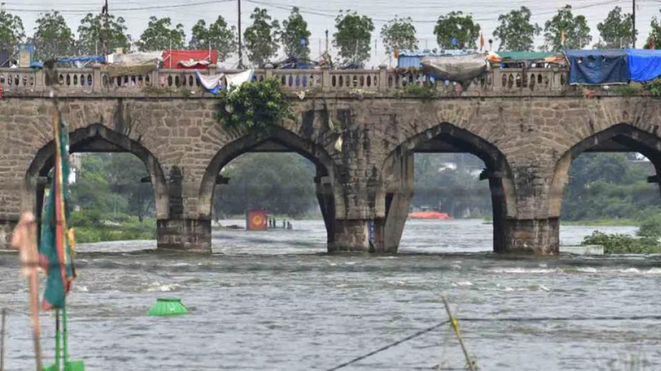
The stability of about 17 bridges across the historic River Musi will be studied soon.
With the State government deciding to take up the River Musi Front Development project, measures are being initiated to study the stability of the decades-old bridges constructed across the river, besides marking the buffer zone along the riverbank.
This is after consultants were invited for preparing an aggregate master plan for the project. The master plan is being prepared for a site area covering 55 km of the River Musi. This excludes the one km influence zone on either side totalling to an area of 110 square km.